Your browser cannot save progress right now. You can still investigate; keep this tab open or enable local storage to save.
This case has been updated. Compatible choices are kept; revisit the evidence before drawing your conclusion.
01 · The briefing
Begin with the question.
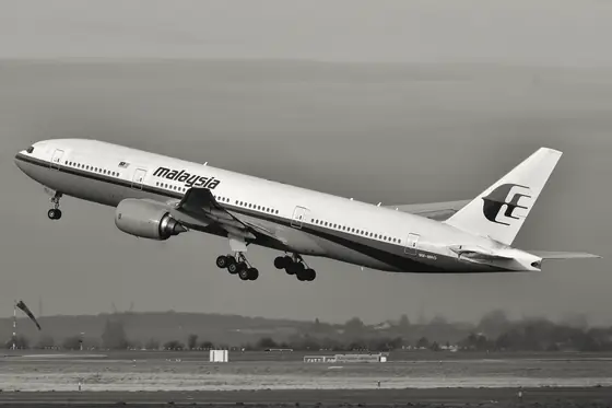
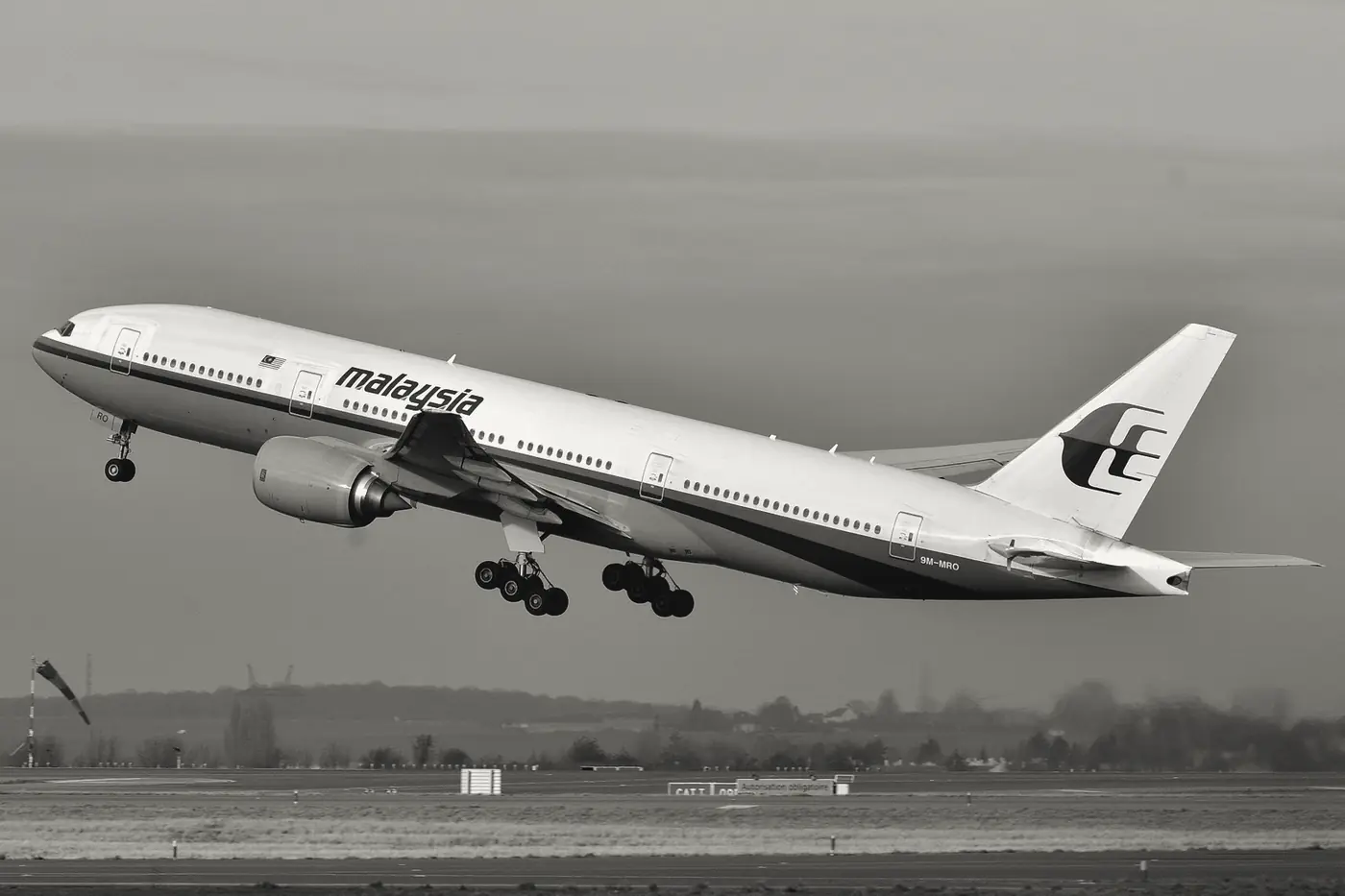
On 8 March 2014, Malaysia Airlines flight MH370, a Boeing 777-200ER, departed Kuala Lumpur for Beijing with 239 people on board: 12 crew and 227 passengers. Its transponder and radio links stopped, and its path changed in ways no one on the ground had planned. For days, governments, families and outside analysts offered rival accounts. Public speculation ranged widely, from technical failures to deliberate acts by someone on board, and each theory implied a different place to search. The most useful data came from an unexpected source. The aircraft's satellite data unit kept logging in automatically to an Inmarsat satellite, and the ground station in Perth, Western Australia, recorded the timing and frequency of each exchange. Nobody had designed those records to find an aircraft. Several investigation teams worked on the same satellite data in parallel, and their conclusions carry different levels of confidence, so the question is not only what the data say but how far they can be trusted. This investigation asks what seven automatic handshakes can establish about where the aircraft was, which explanations they support, and which questions they cannot answer.

The timeline
Flight MH370 departs Kuala Lumpur for Beijing with 239 people on board: 12 crew and 227 passengers.
About three minutes after its last primary radar return, the aircraft's satellite data unit starts a log-on sequence at 18:25 UTC on 7 March (00:25 on 8 March, Malaysia time).
Seven automatic handshakes are recorded, the last at 00:19 UTC on 8 March, alongside two unanswered calls and a failed interrogation at 01:15 UTC.
A flaperon is found on La Réunion. Examined later in France, its part and serial numbers match MH370's right flaperon, the first debris positively confirmed to have come from the aircraft.
The official underwater search is suspended after 1,046 days, by which time more than 120,000 square kilometers had been surveyed.
The Malaysian Safety Investigation Report is issued. It does not establish the reasons for the transponder loss or the diversion.
Ocean Infinity announces the end of its latest search phase, citing 151 days at sea since 2018 and more than 140,000 square kilometers of seafloor mapped.
A researched reconstruction for learning. These reasoning steps simplify a complex record; no score can capture the full history.
02 · The evidence
What does the record show?
Read each exhibit before settling on an explanation. The source links below every exhibit lead to the record behind it.
Exhibits reviewed 0 of 4
ATSB: the handshake table, the arcs and the flaperon
The Australian Transport Safety Bureau's 2017 operational search report tabulates the satellite communications after the last radar return. It lists the handshakes initiated by the aircraft and by the ground station, plus unanswered calls, and explains that Inmarsat recorded burst timing offset and burst frequency offset for each handshake. The timing gives a distance from the satellite. Rings built from those distances are reduced to arcs using the aircraft's maximum speed. The report also records that a flaperon found on La Réunion in July 2015 was the first debris positively confirmed to be from MH370. It establishes the method and the record. It does not establish why the communications stopped.
Source record s1web.archive.org
Journal of Navigation: how precise the arcs are
Ashton, Bruce, Colledge and Dickinson's 2015 paper in the Journal of Navigation, written with Inmarsat as technical advisor to the UK Air Accidents Investigation Branch, explains how the Doppler measurement is used. It states a measurement accuracy of plus or minus 7 Hz, which corresponds to heading uncertainty of plus or minus 28 degrees and latitude uncertainty of plus or minus 9 degrees for each individual measurement. Its conclusion gives a last contact location of 34.7 degrees south and 93.0 degrees east, while stating that significant uncertainty remains. It establishes the size of the error. It does not confirm the aircraft's actual path.
Source record s3cambridge.org
Malaysian report: Table 1.9B and the probable explanations
The Malaysian Safety Investigation Report of July 2018 reproduces the satellite handshake sequence in Table 1.9B, with each event given in UTC and Malaysia time. Its analysis says the loss of VHF, HF, ACARS, SATCOM and transponder communications is more likely due to systems being manually turned off or power being interrupted, whether with intent or otherwise. It also says the systems analysis does not suggest a mechanical problem, though a malfunction cannot be conclusively ruled out. It establishes a probabilistic judgment. It does not establish the reasons for the transponder loss or the diversion, which it says were not established.
Source record s2web.archive.org
Ocean Infinity: the 2026 search ends without the aircraft
Ocean Infinity's press release of 8 March 2026 states that the company left the search area in the Indian Ocean on 23 January 2026, after 151 days at sea since 2018, and that it mapped more than 140,000 square kilometers of seafloor. The company says it can say with confidence that the aircraft 'isn't where we looked.' The release establishes the area covered and the outcome. It is a company statement without independent review, and it does not explain why the aircraft was not found or where it may be.
Source record s4oceaninfinity.com
03 · Your reasoning
Follow the strongest explanation.
Choose an interpretation, then compare it with the evidence. You can revise your choice. The goal is understanding, not a perfect score.
04 · The findings
The chain behind the outcome.
Your notebook
Case report
Next in history & systems: Three suspects for a burst tank
The best-supported findings are narrower than many public accounts. The Inmarsat records are real measurements: seven successful automatic handshakes between 18:25 UTC on 7 March 2014 and 00:19 UTC on 8 March, plus unanswered calls and a failed interrogation later. Using the aircraft's maximum speed, the timing measurements constrain the aircraft to arcs, and the frequency measurements narrow them further. The JNav analysis places its best estimate in the southern Indian Ocean with large uncertainty. The flaperon, matched by part and serial numbers to the aircraft's right flaperon, showed that the aircraft ended somewhere in the Indian Ocean from which debris could drift to La Réunion. The Malaysian report found that the communications were more likely lost through systems being switched off or power interrupted, whether with intent or otherwise, said a malfunction could not be conclusively ruled out, and did not establish the reason for the transponder loss or the diversion. Neither the official search nor the 2026 private search located the aircraft. The records establish an area and a timing. They cannot establish the cause, or the exact location of the crash site.
Contributing causes and conditions
- A loss of ACARS and transponder signals between about 17:07 and 17:21 UTC, about an hour before the last primary radar return at 18:22 UTC, which the Malaysian report judged more likely to come from systems being switched off or power interrupted, without ruling out a malfunction
- A diversion from the filed route, with turns back across the peninsula and then a long path toward the southern Indian Ocean that the report says is difficult to attribute to system failures.
- Automatic satellite log-ons that continued for about six hours, because the satellite data unit kept responding to the ground station in Perth.
- Modeling of the timing and frequency data with the aircraft's maximum speed, which narrowed the search zone but left wide uncertainty.
- Debris drifting from the southern Indian Ocean to La Réunion, which confirmed the aircraft's general area but not its crash site.
OutcomeMH370 disappearance (2014)
Take the method with you
- A measurement made for one purpose can constrain a question it was never designed to answer, but only within the assumptions the analysis adds.
- A single consistent constraint, such as a distance arc, narrows the possibilities without naming a point. Check how wide the uncertainty is before trusting a location.
- Separate what a record shows, such as timing, frequency and serial numbers, from the cause an investigator infers from it, and keep 'not established' distinct from 'ruled out'.
You can read findings at any time. Exploring every reasoning step marks this case as complete in your notebook.
The open record
Sources & further reading
Read the original record and its scope before relying on a conclusion. Source references support the exhibit summaries; Faultory’s reasoning prompts are editorial reconstructions.
- s1
- s2
- s3
- s4
Written and curated for Faultory by Yunus Emre Vurgun, with AI-assisted research and drafting. Sources and interpretations can need correction. Read our editorial standards or report an issue.
Keep investigating