Your browser cannot save progress right now. You can still investigate; keep this tab open or enable local storage to save.
This case has been updated. Compatible choices are kept; revisit the evidence before drawing your conclusion.
01 · The briefing
Begin with the question.
The hurricane of 1900 was first observed in the Caribbean in late August and was reported moving north over Cuba on 4 September. It then strengthened in the Gulf of Mexico and turned toward Texas. Weather Bureau forecasters expected the storm to continue to the northeast, while the Galveston office received word that it was moving toward Texas. The local official in charge, Isaac Cline, hoisted hurricane warning flags as the tide rose, and the city had been placed under a storm warning the day before. By then few people had left, and the bridges to the mainland were failing. Galveston sat low, and most of its buildings were wood-frame structures raised just above the ground. Three explanations are commonly offered for the scale of the loss. The first blames the storm alone: no forecast could have spared a city so exposed. The second blames the forecasting system, including a central office that some accounts say discounted forecasts from Cuban meteorologists. The third blames the city, whose residents underestimated the danger and whose island had no seawall. Your investigation separates what the official record shows about the track and the warnings, what the storm did to the city, and what the city's physical situation contributed. Be careful with dramatic personal accounts, since much of the story about the warnings comes from the local official's own recollections, and historians have questioned parts of them.
The timeline
The storm is first observed in the Caribbean, about 125 miles northwest of Martinique.
Galveston learns that the storm has moved north over Cuba.
Forecasters expect the storm to track northeast; in the Gulf of Mexico it begins to strengthen and veer west.
The Weather Bureau's central office places Galveston under a storm warning, the day before the storm arrives.
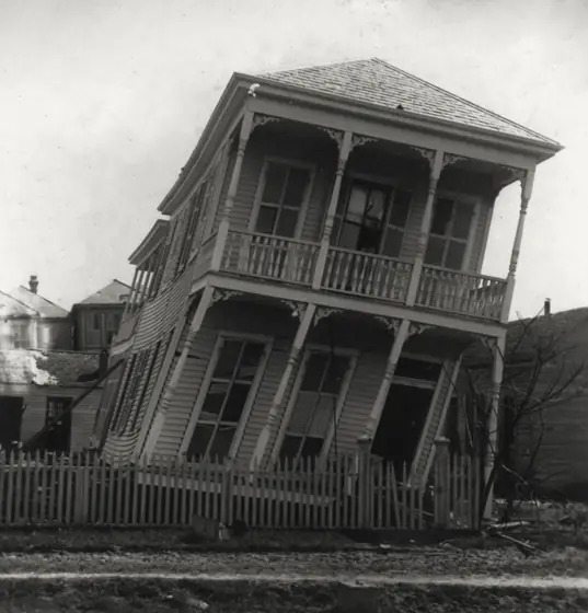
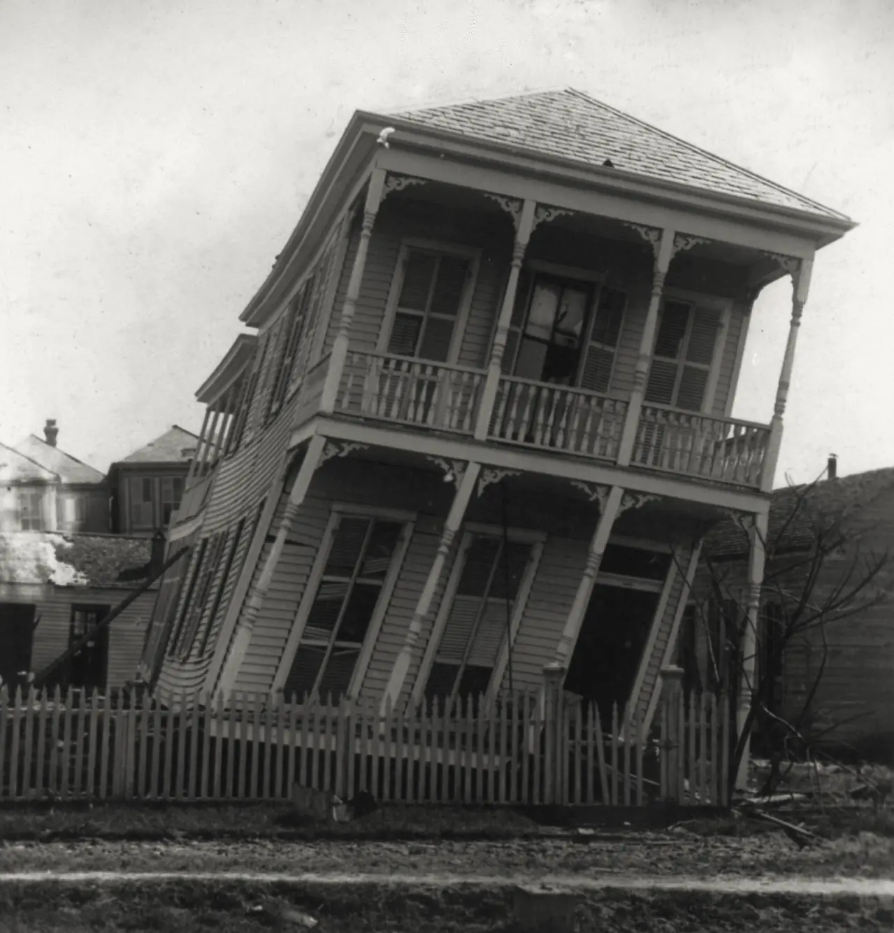
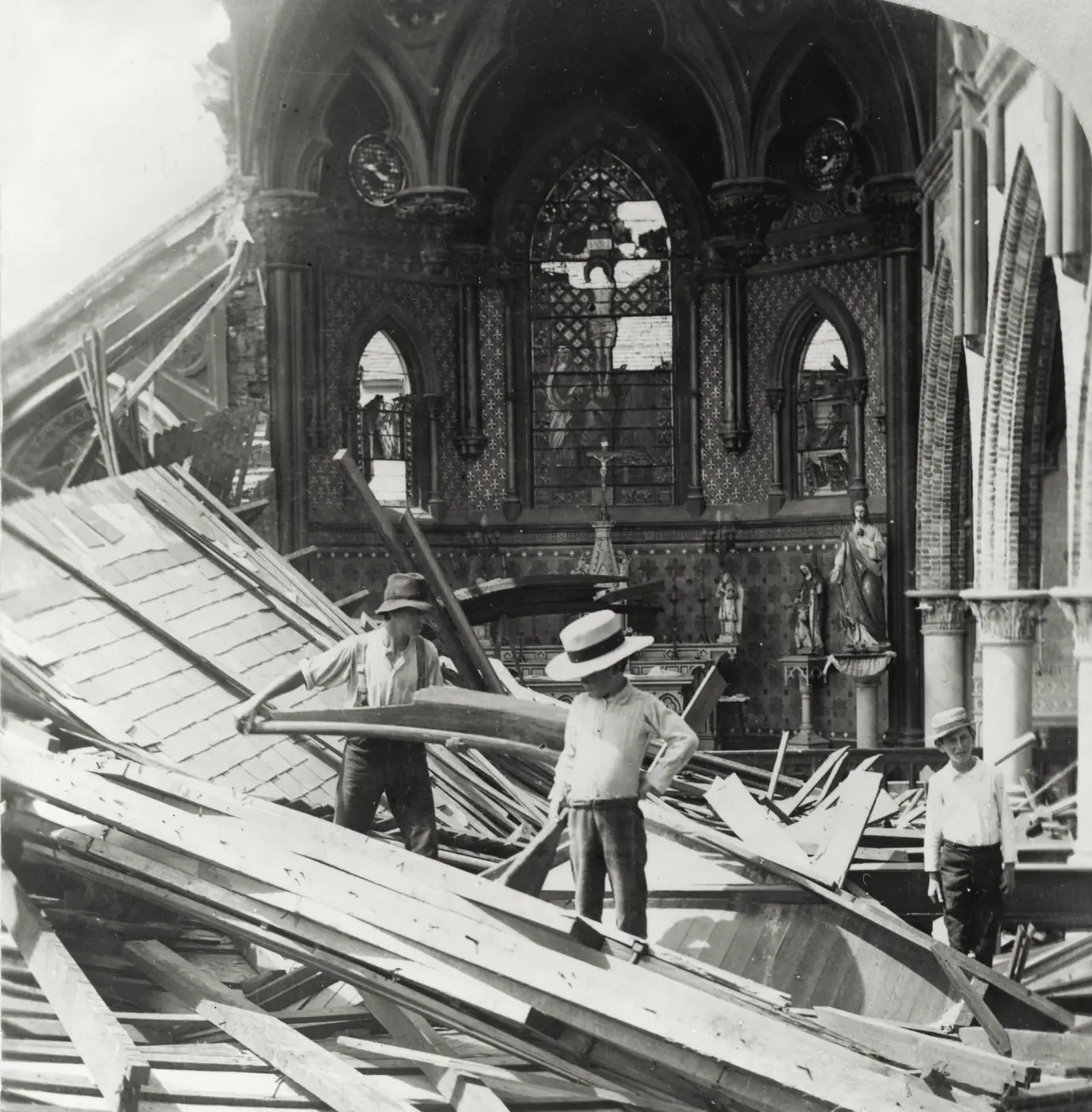
The hurricane makes landfall; the bridges to the mainland are destroyed, and the Texas Almanac reports that structures in two-thirds of the city were totally destroyed.
Work begins on the city's portion of the seawall, which is completed on 29 July 1904.
A researched reconstruction for learning. These reasoning steps simplify a complex record; no score can capture the full history.
02 · The evidence
What does the record show?
Read each exhibit before settling on an explanation. The source links below every exhibit lead to the record behind it.
Exhibits reviewed 0 of 5
A track expected elsewhere
A NOAA feature on the storm records that by the time it passed over Cuba on 4 September and reached a position northwest of Key West on 6 September, forecasters were convinced it would continue to the northeast. Once in the Gulf of Mexico, the storm strengthened and veered westward. The page records the expectation and the reversal. It does not by itself establish how the expectation was formed or what information each office held.
Source record s4web.archive.org
Signals relayed to Galveston
David Roth's National Weather Service history reports that word of the storm's passage over Cuba, moving northwest toward Texas, had been relayed to the Galveston office. The local office hoisted a hurricane flag as the pressure fell, and about 20,000 people are said to have evacuated, although a number ignored the warning. Isaac Cline is described riding the beach in a horse-drawn buggy with his brother, warning people to leave, but few listened until the weather changed their minds.
Source record s1weather.gov
Exposure before the storm
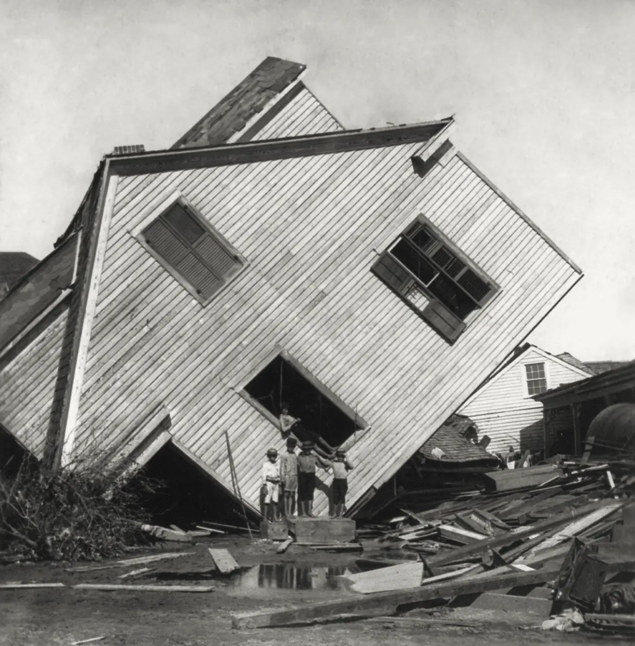
The Handbook of Texas entry describes the city's exposure: houses and stores were elevated as a safeguard against occasional overflows, and the storm surge reached a high-water mark of 15.7 feet. It gives the death toll in the city as between 6,000 and 8,000, with casualties for the whole island estimated at 10,000 to 12,000. The exposure is well documented, but the losses also depended on how quickly people could leave once the warnings were given.
Source record s2tshaonline.org
A deadly count, with uncertainty
The NOAA technical memorandum on the deadliest United States tropical cyclones from 1851 to 2010 lists the 1900 Galveston hurricane first, with at least 8,000 deaths. That figure differs from the Handbook's city range of 6,000 to 8,000 and its island range of 10,000 to 12,000. The spread shows how difficult the count was, and why any single number should be quoted with its source.
Source record s5nhc.noaa.gov
The seawall and the raised grade
The Handbook entry says the seawall stands 17 feet above mean low tide, and that sand pumped in raised parts of the city as much as 17 feet, with 2,146 buildings lifted in advance. The Texas Almanac gives the same 17-foot height and the completion of the city's portion in July 1904. Lengths differ between sources, so the case does not quote a single figure.
Source record s2tshaonline.org
03 · Your reasoning
Follow the strongest explanation.
Choose an interpretation, then compare it with the evidence. You can revise your choice. The goal is understanding, not a perfect score.
04 · The findings
The chain behind the outcome.
Your notebook
Case report
Next in history & systems: Ice ahead, speed unchanged
The record points to a combination of factors. The storm was first observed in the Caribbean in late August, was reported over Cuba on 4 September, then strengthened in the Gulf and turned toward Texas. Washington expected it to continue to the northeast. The Galveston office received reports that it was moving toward Texas, raised warning flags, and had the city placed under a storm warning the day before landfall. Some people ignored the warnings, and many did not leave in time. Isaac Cline is the central figure in the local story; his own accounts describe riding the beach to warn people, and the National Weather Service history repeats them. Historians have questioned parts of those accounts, so the most dramatic details are less certain than the basic sequence of warnings and failures. Forecasting in 1900 was limited by communications. Reports from ships and stations were slow or incomplete, and the track expected in Washington did not match the signals reaching the local office. Cuban forecasts, reported in some histories as predicting a westward track, are not confirmed in the primary sources used here. The loss was driven as much by exposure as by late warnings. Galveston was low, its houses mostly wood-frame, and the surge reached 15.7 feet. Estimates of the city death toll run from about 6,000 to 8,000, and a NOAA memorandum lists at least 8,000 for the storm. The lasting response was structural: the grade was raised and a seawall built 17 feet above mean low tide. The defensible lesson is that a forecast and a warning are different steps, and exposure determines how much a late or uncertain warning costs.
Contributing causes and conditions
- The track forecast from Washington expected a northeastward course rather than a Texas landfall.
- Reports from ships and the Caribbean were slow or missing, so local offices had partial information.
- Warnings and evacuation came too late for many people, and the bridges to the mainland failed.
- The island's low elevation and wood-frame buildings let the surge do most of the damage.
Outcome1900 Galveston hurricane
Take the method with you
- A forecast error and a warning failure can produce the same loss, so the record should separate the track forecast from the warnings that followed.
- A dramatic eyewitness account is valuable evidence, but its details should be checked against records made at the time.
- Physical exposure turns a hazard into a disaster, which is why structural measures can outlast any single forecast.
You can read findings at any time. Exploring every reasoning step marks this case as complete in your notebook.
The open record
Sources & further reading
Read the original record and its scope before relying on a conclusion. Source references support the exhibit summaries; Faultory’s reasoning prompts are editorial reconstructions.
- s1National Weather Service (David Roth) — Texas Hurricane History
www.weather.gov
- s2
- s3Texas Almanac — Galveston's Response to the Hurricane of 1900
texasalmanac.com
- s4
- s5
Written and curated for Faultory by Yunus Emre Vurgun, with AI-assisted research and drafting. Sources and interpretations can need correction. Read our editorial standards or report an issue.
Keep investigating